Evaluating AI-enhanced Geocoding for Informal Locations – a new master thesis by Adithya Vasisth on a research subject of the Digital Divide, the Digital Society and Global Citizenship.
Abstract – Crisis mapping technologies assume every person has a formal address, a reliable internet connectivity, and communicates in English. Most disaster-affected communities have none of these. When disasters strike, affected populations report emergencies through platforms promising democratized response. Yet a persistent bottleneck emerges: translating informal location descriptions into coordinates that digital response systems can understand. In this thesis, master student Adithya Vasisth explores whether contemporary geocoding services and Large Language Model augmentation can address these challenges.
Using 117 authentic Bangalore flood addresses collected through an NGO’s disaster relief work, Adithya evaluated five existing digital geo-coding services. He tested whether Large Language Model preprocessing could improve disaster response performance in low-resource, multilingual contexts that existing research overlooks.
The results of this study expose the blunt inequalities: where commercial services achieved moderate accuracy (Google Maps 63%, OLA Maps 41%), the open-source alternatives failed catastrophically (2- 5%). LLM augmentation improved some configurations but degraded others—a paradox revealing how proprietary digital systems handle informal addresses differently.
Technically, the technology works. Response times could drop from hours to seconds, potentially saving lives. But automation addresses one bottleneck while structural barriers—digital divides, training bias, power imbalances—remain. Whether deployment serves communities or optimizes extraction depends on who benefits, who decides, and whose knowledge counts.
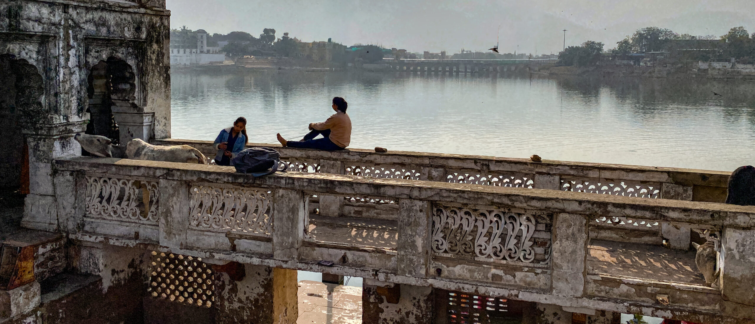
Featured image is a real picture by a human photographer: Leeuw van Moerkerken, who visited India.
Download and read here the complete thesis: